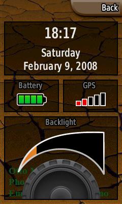
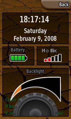
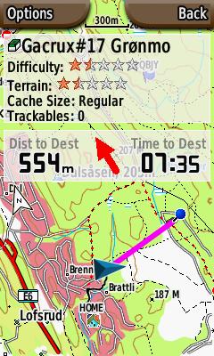
<%@LANGUAGE="JAVASCRIPT" CODEPAGE="1252"%> Garmin Colorado 300 Issues List

Garmin Colorado 300 Issues List

The Colorado 300 is a great unit, but it has a lot of flaws/weaknesses.
This is my issue list (Im using ver 2.30).

1. Power on

Current Alternative

Startup time on my Colorado 300 is about 35-40 sec. the spesification clams:
Acquistion times: < 1 sec (warm start)
< 33 sec (cold start)
< 36 sec (autolocate)
This is not true since the startup time for the unint is > 35 sec.
The startup time for the unit must be reduced.

Why don't use the startup screen for a user welcome message or image?

2. Power page

Current Alternative

Time should display hh:mm:ss A lot of people use a GPS as a master clock.

GPS signal strength is red for NoFix and green for Fix. What about 2D/3D fix. Maybe 2D fix should be blue. Anorther alternative is to show the fix status as text.

3. Map page, improvements

(Right) It should be possible to switch map mode (North up/Track up from the option menu.
This behavior should also switch automatically depending on selectable zoom level.

(Under) When navigating, it's space on the screen for a red arrow between the data fields, just like in the geocacher heading page. That would be nice!

(Under-right) If you pan in track up mode, the display switch to "north up" during panning. When you pan the map the unit should remember the "up mode".
In pan mode it would be very convenient to see distance and bearing to cursor point.

A black track line can mix up with other map symbols. Track color should be selectable.

4. Compass page

Bearing pointer Course poiner

The compass on the Colorado has a flaw. The bearing pointer shows ca.60° while the bearing data fields shows 183°. In course view the pointer is correct.

It should be possible to trun compass on and off from the option menu. When you are in geocache mode the option menu is not visible. (And sometimes
it's necessary to calibrate it).

Rules for automatic compass should be selectable.

5. Where To

Current Alternative

All lists should be supplied by icons. In ceocaching mode it must be easy to see the difference on found caches and not found caches.

Geocaches must be displayed on the map screen.

6. Geochace mode

Current Alternative

The description must also display the coordinates. There are no other ways to display a cache coordinate.

Why does the Colorady shows "Time to Dest" in the data field when I have selected "Bearing" in the map setup?

Why isn't this a moving map, and why does the Colorado use North up, when I have selected Track up.

A genral problem with the Colorado is the fonts (on several pages, and specially on the trip page). I can't understand why a so reading-unfriendly old computer-style font is used. As an example I have changed the numer to an Arial font.

If you have large files this function is very slow.

It should not be a limit on the number of geocaches on the system (and at least
10000 should be allowed)

7. Other

Sound.
Sounds for key click, messages and alarms should be selectable. Sound on/off is useless. If you select no key click, you also select no alarms (including clock alarm).

Make waypoint.
For a geocacher it is absolute necessary to average a WP. This is not possible on the Colorado.

Waypoint manager
Waypoint symbol should be visible in the list.
Change Comment/Change Location should display the complete text (not scrolling out of the screen).
It would be convenient with a "Go To" button on this page.
It would be convenient with a "Delete" button on this page (I know it is on the options page).
It must be possible to delete a group of symbols (based on symbol).

Back

Copyright © Otto Milvang